File:Auvergne region locator map.svg

Original file (SVG file, nominally 2,000 × 1,922 pixels, file size: 533 KB)
Summary
| Description: |
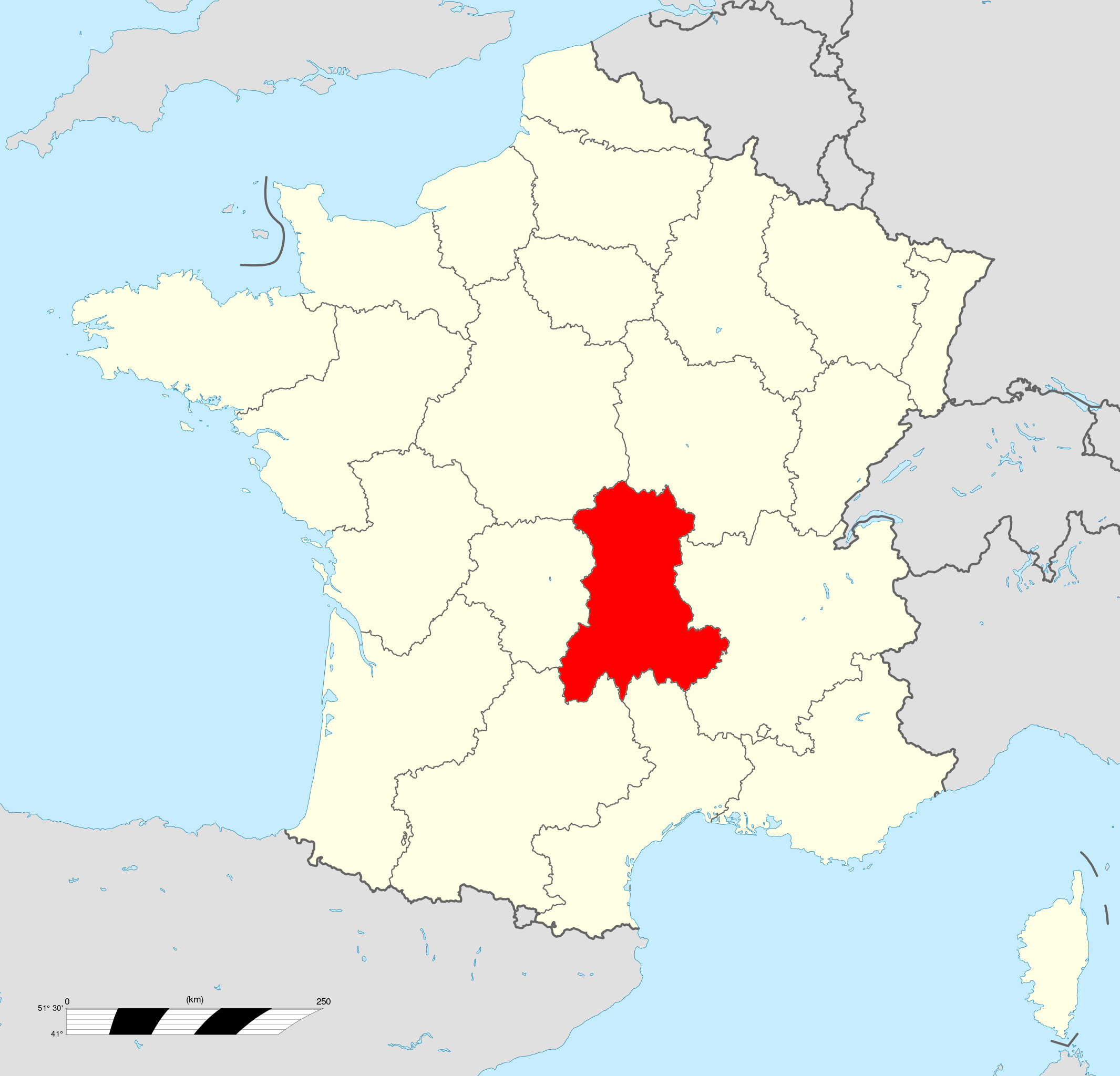
English : Map of Auvergne. |
|---|---|
| Source: | |
| Author: |
Original map: Sting, modifications by Wikialine |
Licensing

|
Permission is granted to copy, distribute and/or modify this document under the terms of the GNU Free Documentation License, Version 1.2 or any later version published by the Free Software Foundation; with no Invariant Sections, no Front-Cover Texts, and no Back-Cover Texts.
(es) Puedes copiar, distribuir y/o editar esta obra segun las condiciones de la licencia de documentación libre de GNU (GFDL), versión 1.2 o cualquiera otra versión publicada por la Free Software Foundation. (fr) Vous êtes libre de copier, distribuer et/ou modifier cette oeuvre selon les termes de la licence de documentation libre GNU (GFDL), version 1.2 ou toute version ultérieurement publiée par la Free Software Foundation. |
File history
Click on a date/time to view the file as it appeared at that time.
| Date/Time | Thumbnail | Dimensions | User | Comment | |
|---|---|---|---|---|---|
| current | 20:12, 16 June 2012 | | 2,000 × 1,922 (533 KB) | MangousteP (talk | contribs) | {{Info |Description = Map of Auvergne. |Description-fr = Carte administrative représentation la région Auvergne sur une carte de France métropolitaine. |Source = [http://fr.wikipedia.org/wiki/Fichier:Auvergne_region_locator_map.svg Wikipedia] |Author = |
You cannot overwrite this file.
File usage
The following page uses this file:
Global file usage
The following other wikis use this file:
- Usage on fr.scoutwiki.org

