File:Auvergne-Rhône-Alpes region locator map.svg
From ScoutMedia, the free scout media repository

Size of this PNG preview of this SVG file: 624 × 600 pixels. Other resolution: 2,131 × 2,048 pixels.
Original file (SVG file, nominally 2,000 × 1,922 pixels, file size: 295 KB)
Summary
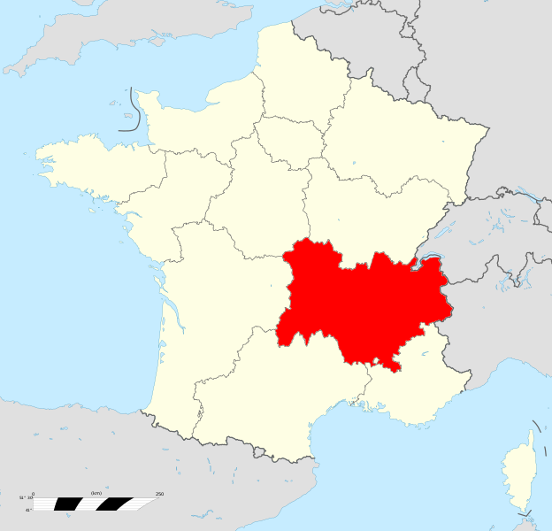
| Description: |
Français : Localisation géographique de la région Auvergne-Rhône-Alpes |
|---|---|
| Source: |
Wikipédia |
| Author: |
- |
File history
Click on a date/time to view the file as it appeared at that time.
| Date/Time | Thumbnail | Dimensions | User | Comment | |
|---|---|---|---|---|---|
| current | 11:28, 20 November 2021 | | 2,000 × 1,922 (295 KB) | Paul TESSON (talk | contribs) | {{Info |Description-fr = Localisation géographique de la région Auvergne-Rhône-Alpes |Source = Wikipédia |Author = - }} |
You cannot overwrite this file.
File usage
There are no pages that use this file.
Global file usage
The following other wikis use this file:
- Usage on fr.scoutwiki.org

